















Live the Island Dream with Homes Priced Under $95,000
Many of us have gone on an island vacation and vowed to return one day. Whether on another vacation or as a permanent resident, finally living the dream and relocating and living the island lifestyle. The attraction of life by the sea and the more relaxed pace of island life is often a big draw for many but island living doesn't always appear to be the most affordable. But Island life may be more affordable than you thought and you can buy a home on one island for less than $95,000.
To determine where you can live the island dream (and a few peninsulas) with homes priced right, Moms Who Think reviewed five-year data on median household value and median household income from the U.S. Census Bureau’s 2022 American Community Survey. Island cities, towns, and Census-designated places were ranked based on the ratio of median home value to median household income.
Island status was determined using Census TIGER/Line place boundary definitions for 2022 and shapefile data from the Global Island Explorer database developed by the U.S. Geological Survey in partnership with Esri. If island life is in your future, these locations might be the place for you.
Herron Island, WA
- Median home value: $310,400 (5.0 times income)
- Median household income: $62,054
- Total population: 122
Puget Island, WA
- Median home value: $319,300 (4.9 times income)
- Median household income: $64,593
- Total population: 1,057
Crescent Beach, FL
- Median home value: $512,700 (4.9 times income)
- Median household income: $104,432
- Total population: 936
Sandwich, MA
- Median home value: $486,900 (4.9 times income)
- Median household income: $99,333
- Total population: 2,948
Newport East, RI
- Median home value: $444,300 (4.9 times income)
- Median household income: $90,659
- Total population: 11,644
Coinjock, NC
- Median home value: $200,600 (4.9 times income)
- Median household income: $40,938
- Total population: 301
Upper Grand Lagoon, FL
- Median home value: $316,400 (4.9 times income)
- Median household income: $64,935
- Total population: 17,062
Wabasso Beach, FL
- Median home value: $586,000 (4.9 times income)
- Median household income: $120,673
- Total population: 2,101
Anderson Island, WA
- Median home value: $449,000 (4.8 times income)
- Median household income: $92,933
- Total population: 1,621
Manteo, NC
- Median home value: $375,900 (4.8 times income)
- Median household income: $78,074
- Total population: 1,808
Panama City Beach, FL
- Median home value: $363,900 (4.8 times income)
- Median household income: $76,091
- Total population: 18,281
East Sandwich, MA
- Median home value: $590,000 (4.8 times income)
- Median household income: $123,571
- Total population: 3,787
Matlacha, FL
- Median home value: $370,100 (4.8 times income)
- Median household income: $77,841
- Total population: 837
Yarmouth Port, MA
- Median home value: $486,200 (4.8 times income)
- Median household income: $102,321
- Total population: 5,971
Littlejohn Island, ME
- Median home value: $446,600 (4.7 times income)
- Median household income: $94,943
- Total population: 58
Big Coppitt Key, FL
- Median home value: $481,200 (4.7 times income)
- Median household income: $102,943
- Total population: 3,188
Gwynn, VA
- Median home value: $413,600 (4.6 times income)
- Median household income: $89,009
- Total population: 639
Brigantine, NJ
- Median home value: $423,000 (4.6 times income)
- Median household income: $91,307
- Total population: 7,784
Tierra Verde, FL
- Median home value: $666,100 (4.6 times income)
- Median household income: $143,913
- Total population: 4,072
Pine Island Center, FL
- Median home value: $252,800 (4.5 times income)
- Median household income: $55,565
- Total population: 1,626
Galveston, TX
- Median home value: $258,300 (4.5 times income)
- Median household income: $57,453
- Total population: 53,265
St. Simons, GA
- Median home value: $445,500 (4.5 times income)
- Median household income: $99,432
- Total population: 15,983
Laguna Beach, FL
- Median home value: $329,500 (4.4 times income)
- Median household income: $74,911
- Total population: 4,194
Lower Grand Lagoon, FL
- Median home value: $314,200 (4.4 times income)
- Median household income: $72,083
- Total population: 4,733
Pineland, FL
- Median home value: $401,800 (4.3 times income)
- Median household income: $93,594
- Total population: 379
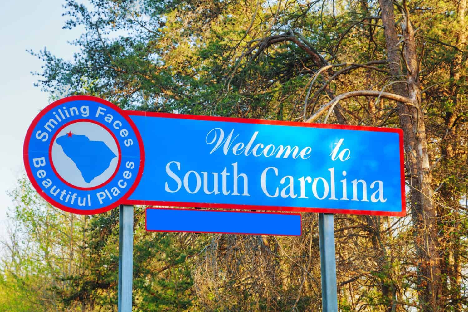
Port Royal, SC
- Median home value: $292,400 (4.2 times income)
- Median household income: $68,909
- Total population: 14,573
South Beach, FL
- Median home value: $813,500 (4.2 times income)
- Median household income: $193,281
- Total population: 3,120
Lido Beach, NY
- Median home value: $726,100 (4.2 times income)
- Median household income: $172,857
- Total population: 2,615
St. James City, FL
- Median home value: $251,600 (4.0 times income)
- Median household income: $62,415
- Total population: 3,494
Bokeelia, FL
- Median home value: $263,400 (3.9 times income)
- Median household income: $66,691
- Total population: 2,230
Shell Point, SC
- Median home value: $236,900 (3.9 times income)
- Median household income: $60,676
- Total population: 2,026
Harkers Island, NC
- Median home value: $264,300 (3.9 times income)
- Median household income: $67,888
- Total population: 1,104
Laurel Bay, SC
- Median home value: $215,600 (3.9 times income)
- Median household income: $55,658
- Total population: 5,513
Mashpee Neck, MA
- Median home value: $518,600 (3.8 times income)
- Median household income: $135,536
- Total population: 1,270
Buxton, NC
- Median home value: $328,600 (3.8 times income)
- Median household income: $87,344
- Total population: 1,477
Akutan, AK
- Median home value: $106,300 (3.7 times income)
- Median household income: $28,750
- Total population: 911
Grandy, NC
- Median home value: $260,500 (3.7 times income)
- Median household income: $70,610
- Total population: 2,438
Cousins Island, ME
- Median home value: $603,400 (3.6 times income)
- Median household income: $168,571
- Total population: 504
Wanchese, NC
- Median home value: $249,700 (3.5 times income)
- Median household income: $71,484
- Total population: 2,005
Jamaica Beach, TX
- Median home value: $300,500 (3.5 times income)
- Median household income: $86,923
- Total population: 1,103
Waves, NC
- Median home value: $547,800 (3.4 times income)
- Median household income: $158,860
- Total population: 139
Burton, SC
- Median home value: $189,200 (3.2 times income)
- Median household income: $58,390
- Total population: 7,603
Barataria, LA
- Median home value: $167,000 (3.0 times income)
- Median household income: $55,313
- Total population: 772
Harbor Island, SC
- Median home value: $295,000 (3.0 times income)
- Median household income: $97,825
- Total population: 277
Shishmaref, AK
- Median home value: $118,300 (2.1 times income)
- Median household income: $56,875
- Total population: 568
Daufuskie Island, SC
- Median home value: $290,400 (2.0 times income)
- Median household income: $146,349
- Total population: 569
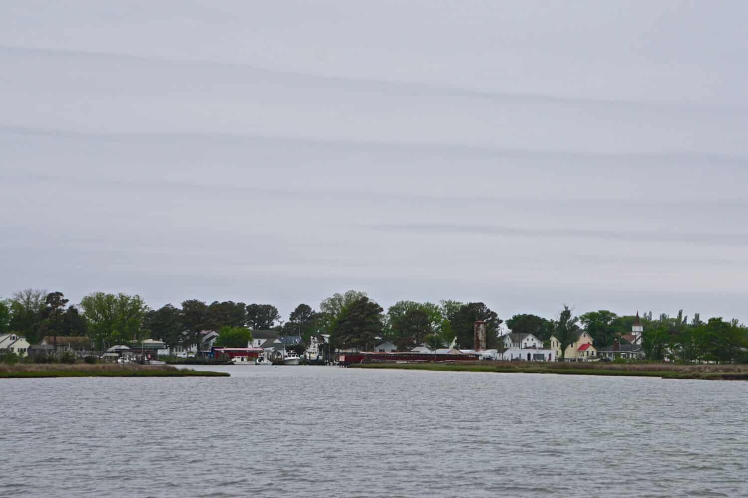
Smith Island, MD
- Median home value: $109,300 (1.3 times income)
- Median household income: $82,878
- Total population: 357
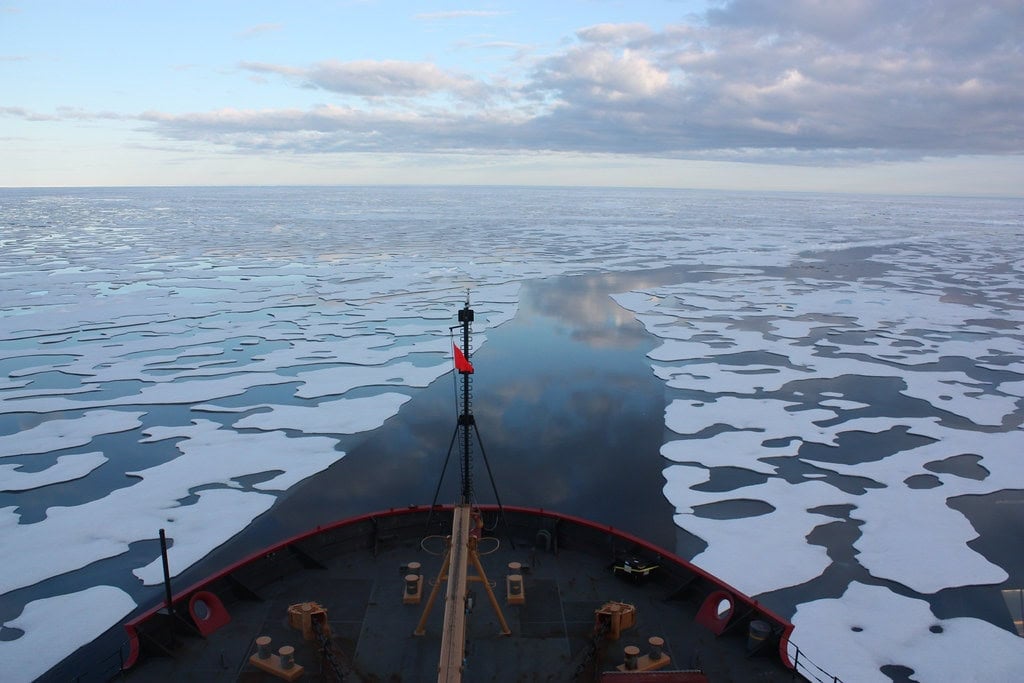
Kaktovik, AK
- Median home value: $93,000 (1.1 times income)
- Median household income: $86,458
- Total population: 201